Anmelden
Star-Benutzer
Umfrage
Startseite
>
Vereinigte Staaten von Amerika
>
Washington
>
Franklin County
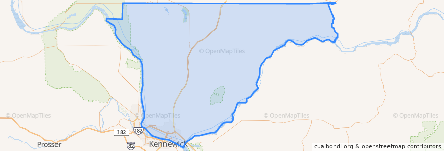
Franklin County
Siehe in der interaktiven Karte
Routen des öffentlichen Verkehrs
Route 150 Eastbound
Route 160 Eastbound
Route 160 Westbound
Route 225 Eastbound
Route 225 Westbound
Route 41 Clockwise
Route 41 Counter-clockwise
Route 66 Eastbound
Route 66 Westbound
Route 67 Eastbound
Route 67 Westbound
Orte
Pasco
(9)
Basin City
(0)
Connell
(0)
Kahlotus
(0)
Mesa
(0)
Haltestellen
Chapel Hill & Muris
Court & 18th Avenue
Sandifur & Road 92
Sylvester & Road 36
Argent & Morasch
Court & 7th Avenue
Court & 1st Avenue
Court & Road 40
Court & 5th Avenue
Court & 3rd Avenue
Sylvester & Road 36
20th Avenue & Irving
Court & 10th Avenue
Lewis & 26th avenue
Burden & Road 52
Court & 10th Avenue
Burden & Road 60
Burden & Homerun
Burden & Robert Wayne
Court & 1st Avenue
Lewis & 26th avenue
Road 84 & Bell
Road 84 & Massey
Court & Road 36
20th Avenue & Agate
Chapel Hill & Suffolk
Road 84 & Bell
Court & 14th Avenue
Road 76 & Cordero
Court & 18th Avenue
Sehenswürdigkeiten
Sunrise Super Gas
Havana Café
Shell
Fiesta
CBC Dental Hygiene Clinic
U.S. Bank
Basin City
Love Curry
Walgreens
Franklin County
Little Caesars
Kahlotus
Hawk's Nest
Oriental Express
DaVita Dialysis
Pasco Intermodal Train Station
Ostler Orthodontics
Bin No. 20 Wine Bar & Restaurant
Pasco
Trejo's Mexican Restaurant
A&W
Nikko Sushi & Steak
Mesa
Redbox
Pasco Fire Station 82
Heritage University
La Vina Grupo
My FroYo
Tesla Supercharger
Tri-City Junior Academy