Login
Star users
Poll
Home
>
United States
>
Washington
>
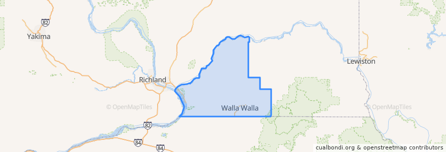
Walla Walla County
Walla Walla County
See in interactive map
Routes of public transport
College Place Circulator
Fairgrounds
Pleasant St Loop
Places
Walla Walla
(2)
College Place
(1)
Walla Walla East
(1)
Burbank
(0)
Dixie
(0)
Garrett
(0)
Prescott
(0)
Touchet
(0)
Waitsburg
(0)
Stops
C Street and Damson
-118.378392, 46.0388992
College Ave and Lamperti
College Ave and 13th
Birch and A Street
Walla Walla Transit Center
Larch and Whitman Dr
Larch and Mockingbird
Larch and 6th Street
-118.37836800000001, 46.0451862
Academy and 3rd Street
-118.37901230000001, 46.0529069
4th Street and Bade
Walmart
Points of interest
Starbucks
Walgreens
Walla Walla Free Little Library
Banner Bank
Dan Kaylor Family Dentistry
Walla Walla County
Sinclair Estates Vineyards
Laht Neppur Ale House
Aloha Sushi
Otis Kenyon Wine
College Place Fire Station
Saint Pauls School
The Garden Vegan Café
SODA Vending Machine
New Joy Foursquare Church
Peach & Pear
College Place Police Offices
Vocational Technical School
Coffee Perk
Brasserie Four
Starbucks
Graze
Cookie Tree Bakery and Café
Burbank
Coffee Connection Café
Olive Marketplace and Cafe
Marcy's Café
Beeline Automotive
Blue Mountain Credit Union
The Patisserie