로그인
스타 사용자
투표
홈페이지
>
미국
>
플로리다주
>
Seminole County
>
Sanford
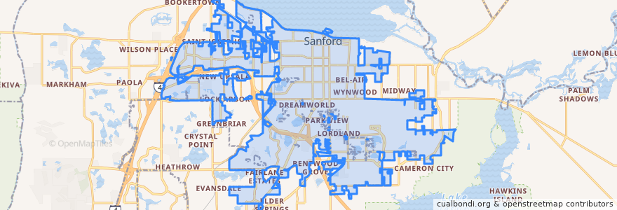
Sanford
대화식지도에서보기
대중 교통 경로
34 Sanford (northbound)
34 Sanford (southbound)
45 Lake Mary (eastbound)
45 Lake Mary (westbound)
46W West SR 46/Seminole Towne Center (eastbound)
46W West SR 46/Seminole Towne Center (westbound)
651 Goldsboro
651 Goldsboro
버스 정류장
-81.28426610000001, 28.7603551
-81.3034042, 28.7565938
가볼만한 곳
CVS
Cici's Pizza
Panera Bread
True Church of God
Dairy Queen
Sanford Police Department
Smokey Bones
Freedom Assembly of God
Wendy's
Andy's Frozen Custard
Sanford Fire Department Station 1
IHOP
Long John Silver's
PDQ
AAA School Of Dental Assisting
Qdoba
Subway
Pinecrest Baptist Church
Bahama Breeze - Sanford
Smoothie King
Lake Mary KinderCare
Walgreens
Walgreens
Community House of Prayer
Seventh Day Adventist Church of Sanford
Westside School
Sanford
Subway
Buffalo Wild Wings
Casa Lupita