Log masuk
Pengguna bintang
Undian
Laman utama
>
Amerika Syarikat
>
Florida
>
Osceola County
>
Saint Cloud
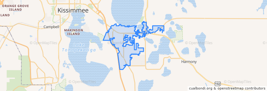
Saint Cloud
Lihat di peta interaktif
Laluan pengangkutan awam
10 East US 192/St. Cloud (eastbound)
10 East US 192/St. Cloud (westbound)
Flixbus 2410: Gainesville => Miami
Flixbus 2410: Miami => Gainesville
Flixbus 2411: Miami => Orlando
Flixbus 2411: Orlando => Miami
Perhentian
-81.310534, 28.249556100000003
-81.3077217, 28.247972500000003
-81.3064227, 28.2473753
-81.31312360000001, 28.2513134
-81.3119022, 28.24999
-81.314829, 28.254123900000003
-81.3047209, 28.246585500000002
-81.31894270000001, 28.2552455
Tempat menarik
Hope Presbyterian Church
Saint Cloud Missionary Baptist Church
First United Methodist Church of Saint Cloud
Burger King
A Touch of Basil
CVS Pharmacy
Saint Cloud Shuler Memorial Seventh Day Adventist Church
First Baptist Church of Saint Cloud
The Catfish Place
Chipotle
Walgreens
Subway
Eastern Avenue Baptist Church
CVS Pharmacy
Christian Science Society
Reprise Brewing
Souls Harvest Church
Chick-fil-A
CenterState
Chase
Bank of America
Dairy Queen
Saint Cloud Police Department
Hess
Sonny's BBQ
Circle K
Regions Bank
Seventh Day Adventist Church
Saint Perpetua and Felicity Catholic Church
Sunoco