Login
Usuarios estrella
Encuesta
Inicio
>
Estados Unidos de América
>
Misuri
>
Clay County
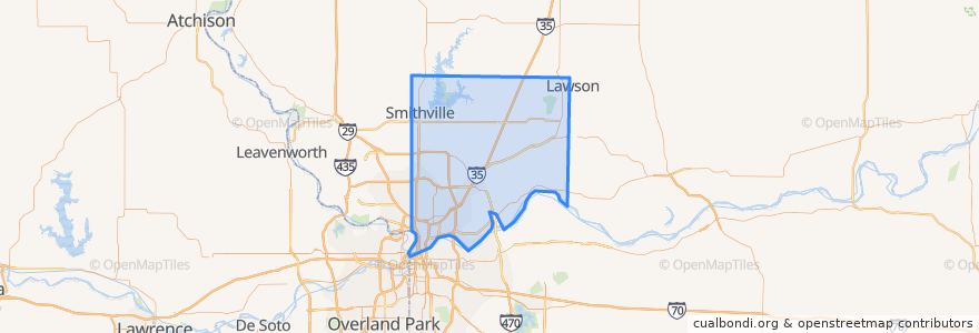
Clay County
Ver en mapa interactivo
Lugares
Birmingham
(0)
Claycomo
(0)
Gladstone
(0)
Glenaire
(0)
Kearney
(0)
Liberty
(0)
Missouri City
(0)
Mosby
(0)
North Kansas City
(0)
Oakview
(0)
Oakwood
(0)
Pleasant Valley
(0)
Prathersville
(0)
Randolph
(0)
River Bend
(0)
Smithville
(0)
Puntos de interés
Kearney
Glenaire
Gladstone
Lawson
Mosby
Oakwood
River Bend
Randolph
Oaks
Smithville
Missouri City
Oakview
Birmingham
Clay County
Pleasant Valley
Claycomo
Prathersville
Avondale
Liberty
Oakwood Park
Excelsior Springs
North Kansas City