Login
Usuarios estrella
Encuesta
Inicio
>
Estados Unidos de América
>
Georgia
>
DeKalb County
>
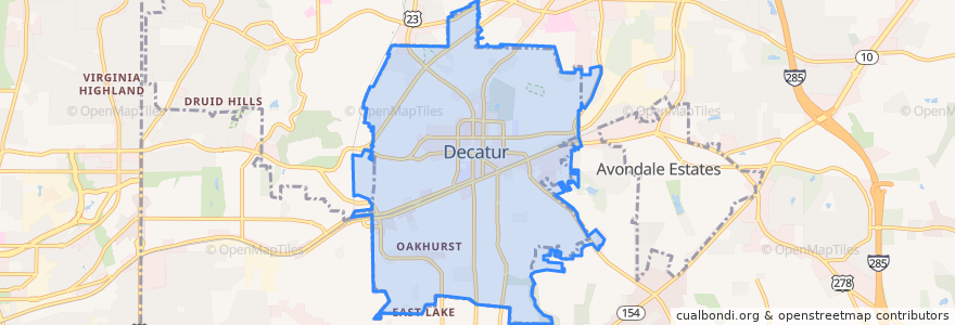
Decatur
Decatur
Ver en mapa interactivo
Recorridos de transporte público
Clifton Corridor / Decatur MARTA Station Inbound
Clifton Corridor / Decatur MARTA Station Outbound
MARTA 114 Columbia Drive/Clifton Springs Road
MARTA 120 East Ponce De Leon Avenue
MARTA 2 Ponce De Leon Avenue/Druid Hills
MARTA 36 North Decatur Road/Virginia Highland
MARTA 823 Belvedere/Decatur
Subway Blue Line: Hamilton E. Holmes => Indian Creek
Subway Blue Line: Indian Creek => Hamilton E. Holmes
Paradas
-84.3128705, 33.7651368
-84.2817893, 33.7756713
Decatur
-84.28229400000001, 33.7752628
Clairmont Oaks(NB)
Clairmont Oaks(SB)
Two Decatur Town Center
-84.31288470000001, 33.765243500000004
-84.2821617, 33.7750511
Clairemont-Scott(NB)
Clairemont-Wilton (SB)
-84.2960578, 33.7746009
Clairemont-Michigan(NB)
-84.29605880000001, 33.7746197
Clairemont-Scott(SB)
Puntos de interés
Zucca
Decatur Police Station
Fresh2Order
Matador Cantina
Decatur High School - Upper Lot
Rocket Camp
Raging Taco
Sweet Melissa's
Maclean Auditorium
Brick Store Pub
Kavarna
Decatur First Methodist Kindergarten
First Church of Christ, Scientist
Amalgam Arts Atl
Burnt Fork BBQ
Clairmont Oaks(NB)
Decatur Fire Station One
4/5 Academy at Fifth Avenue
Decatur Presbyterian Children's Community
Zipcar
Bike Rack
Lutheran Church of the Messiah
College Heights - Early Childhood Learning Center
Celebration
Universal Joint
Leon's Full Service
Taco Mac
The Dancing Goats Coffee Bar
Sushi Avenue
Sushi Avenue