Login
Star users
Poll
Home
>
United States
>
Florida
>
Broward County
>
Coral Springs
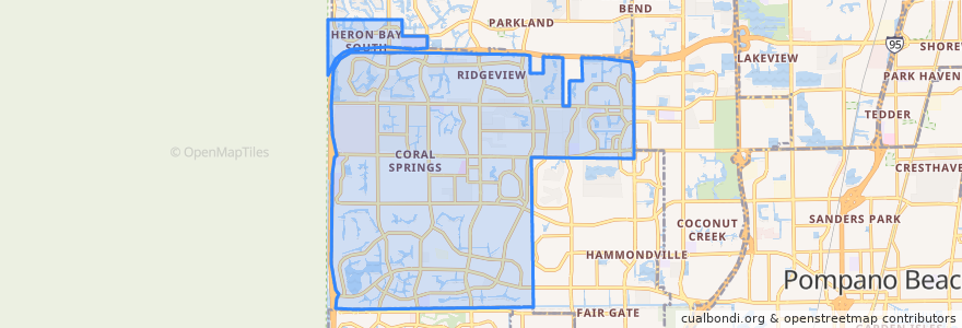
Coral Springs
See in interactive map
Routes of public transport
BCT 102 University Breeze
BCT 19: Boca Raton Sandalfoot => Lauderhill Mall
BCT 19: Lauderhill Mall => Boca Raton Sandalfoot
BCT 2
BCT 34
BCT 42
BCT 441 441 Breeze
BCT 83
BCT 88
Stops
Turtle Creek Drive & Terrapin Lane
State Road 7 & Turtle Creek Drive
Turtle Creek Drive & Creekside Drive
Turtle Creek Drive & Sample Road
Northwest 62nd Avenue & Sample Road
Northwest 62nd Avenue & Sample Road
Turtle Creek Drive & Sample Road
Turtle Creek Drive & Terrapin Lane
Northwest 62nd Avenue & Sample Road
Turtle Creek Drive & Terrapin Lane
Northwest 62nd Avenue & Sample Road
Turtle Creek Drive & Terrapin Lane
Turtle Creek Drive & Creekside Drive
Points of interest
Coral Springs Post Office
United States Post Office - Atlantic Blvd. Branch
Coral Springs Library
Ismaili Cultural Center
BJ's
Coral Springs Country Day School
Burger King
Saint Andrew Catholic Church
City of Coral Springs Charter School
BB&T
Dunkin' Donuts
Checkers
Walgreens
Saint Andrew Catholic School
Coral Springs Alpha Day
Bank of America
Regions Bank
Mobil
Chipotle
McDonald's
BurgerFi
First Presbyterian Church of Coral Springs
University School of Nova University
Chase
Coral Springs
Walgreens
Valero
Bank of America
Shepherd of the Springs Lutheran Church
Pizza Carousel