Login
Star users
Poll
Home
>
United States
>
Florida
>
Broward County
>
Coral Springs
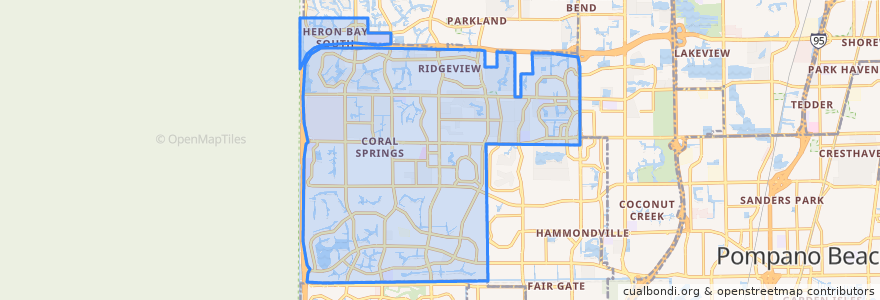
Coral Springs
See in interactive map
Routes of public transport
BCT 102 University Breeze
BCT 19: Boca Raton Sandalfoot => Lauderhill Mall
BCT 19: Lauderhill Mall => Boca Raton Sandalfoot
BCT 2
BCT 34
BCT 42
BCT 441 441 Breeze
BCT 83
BCT 88
Stops
Turtle Creek Drive & Sample Road
Turtle Creek Drive & Terrapin Lane
Turtle Creek Drive & Terrapin Lane
Turtle Creek Drive & Terrapin Lane
Turtle Creek Drive & Terrapin Lane
Northwest 62nd Avenue & Sample Road
Turtle Creek Drive & Creekside Drive
Turtle Creek Drive & Sample Road
Northwest 62nd Avenue & Sample Road
Turtle Creek Drive & Creekside Drive
State Road 7 & Turtle Creek Drive
Northwest 62nd Avenue & Sample Road
Northwest 62nd Avenue & Sample Road
Points of interest
Dunkin' Donuts
Starbucks
Arby's
Wells Fargo
Panera Bread
Häagen-Dazs
Mobil
Coral Springs
Falafel Bistro & Wine Bar
Ismaili Cultural Center
Coral Springs Fire Department Station 80
Jamba Juice
Coral Springs Alpha Day
Coral Springs Post Office
Coral Springs Library
BB&T
Subway
University School of Nova University
McDonald's
Wells Fargo
Charter School
Coral Springs Police Station
Chipotle
Walgreens
Coral Springs Community Church
United States Post Office - Atlantic Blvd. Branch
Coral Springs City Hall
Wendy's
BJ's
City of Coral Springs Charter School