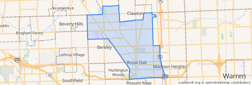
Routes of public transport
Stops
- Woodward / Coolidge (SB)
- Woodward / Larkmoor (SB)
- 11 Mile / Farmer's Market (WB)
- Washington / Parent NS (SB)
- Woodward / Edgewood (SB)
- Main / Bloomfield (NB)
- Woodward / Samoset (SB)
- Woodward / Grandview NS (SB)
- Woodward / Parkway (SB)
- -83.2038351, 42.5197901
- -83.2038419, 42.520027600000006
- 11 Mile / West (EB)
- -83.13063290000001, 42.4902032
- -83.20372760000001, 42.517102
- Main / 13 Mile (SB)
- -83.1212016, 42.504376900000004
- -83.164969, 42.5217669
- Greenfield / Sheridan (NB)
- Main / 11 Mile (NB)
- -83.20352360000001, 42.5126967
- Main / Normandy (SB)
- -83.1898238, 42.5218046
- Woodward / Benjamin (NB)
- -83.14264560000001, 42.489870800000006
- -83.1469891, 42.4978703
- -83.1478668, 42.4884246
- Main / 12 Mile (SB)
- -83.1656382, 42.4967787
- -83.12472170000001, 42.4978921
- -83.1637154, 42.494781
Points of interest