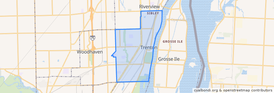
Routes of public transport
Stops
- West / Westfield (WB)
- -83.172898, 42.1636776
- Jefferson / Helen NS (SB)
- Jefferson / St Joseph (NB)
- -83.1716676, 42.166477900000004
- -83.1752122, 42.1558323
- -83.17640680000001, 42.1475707
- -83.1767634, 42.145985100000004
- -83.18365800000001, 42.155939800000006
- -83.1781871, 42.140883800000005
- King / Fritz (EB)
- -83.17471520000001, 42.157911600000006
- Jefferson / Seaway (SB)
- Jefferson / McLouth Plant (NB)
- -83.21120040000001, 42.140998100000004
- -83.1717634, 42.166628800000005
- -83.17762830000001, 42.1424006
- -83.17494860000001, 42.156328900000005
- Jefferson / Elm (SB)
- -83.188923, 42.1572429
- West / Newman (EB)
- -83.1740094, 42.1600892
- West / Rosewood (EB)
- King / Jefferson (WB)
- Fort / King NS (SB)
- -83.176607, 42.147187300000006
- Jefferson / Cherry NS (SB)
- -83.2047361, 42.141085100000005
- -83.1761623, 42.148889600000004
- -83.20016290000001, 42.1411552
Points of interest