로그인
스타 사용자
투표
홈페이지
>
미국
>
미네소타
>
Hennepin County
>
Plymouth
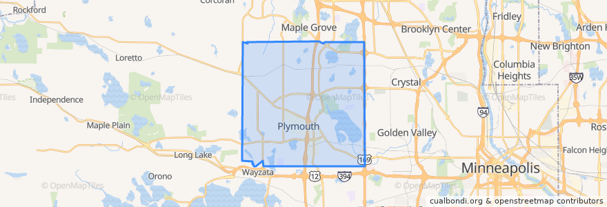
Plymouth
대화식지도에서보기
대중 교통 경로
Plymouth Metrolink 742 (eastbound)
Plymouth Metrolink 742 (westbound)
Plymouth Metrolink 747 (westbound)
Plymouth Metrolink 774 (eastbound)
가볼만한 곳
Jimmy John's
Caribou Coffee
Buffalo Wild Wings
Erbert's and Gerbert's
Uncle Franky's
St. Cloud State University at Plymouth
Rasmussen Dental
Old Chicago
Sami's Stop
Green Mill
Chipotle
Caribou Coffee
Noodles & Company
U.S. Bank
Apostolic Lutheran Church
Medicine Lake
Perkins
Famous Dave's
Arby's
Dunn Bros Coffee
Potbelly
Subway
Subway
Plymouth Post Office
Hennepin County
Arby's
Persis Xpress Indian Grill
Starbucks
Station 73
Plymouth City Hall