로그인
스타 사용자
투표
홈페이지
>
미국
>
콜로라도
>
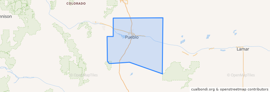
Pueblo County
Pueblo County
대화식지도에서보기
대중 교통 경로
Route 1 Eastside Inbound
Route 1 Eastside Outbound
Route 3 Irving Place Inbound
Route 3 Irving Place Outbound
장소
Pueblo
(4)
Boone
(0)
Rye
(0)
버스 정류장
W 13th Street & Blake Street
Court Street & W 12th Street (Social Services)
E 8th Street & N Main Street
E 8th Street & Troy Avenue
Court Street & W 8th Street
Graham Avenue & W 13th Street
W 13th Street & Baxter Street
Lambert Avenue & W 18th Street
W 13th Street & N Grand Avenue
E 8th Street & Amarillo Avenue
E 4th Street & N Fountain Street
W 13th Street & Graham Avene
Graham Avenue & W 15th Street
W 18th Street & Hooper Avenue
Hooper Avenue & W 17th Street
E 8th Street & Fountain Avenue
Francisco Street & W 13th Street
Amarillo Avenue & E 4th Street
N Grand Avenue & W 10th Street
Court Street & W 5th Street
N Grand Avenue & W 5th Street
E 8th Street & LaCrosse Avenue
E 8th Street & Reading Avenue
W 13th Street & Blake Street
Pueblo Transit Center
W 17th Street & Francisco Street
E 4th Street & Hudson Avenue
E 4th Street & Bradford Street
E 4th Street & Portland Avenue
E 4th Street & Vision Avenue
가볼만한 곳
Gray's Coors Tavern
Brues Alehouse Brewing Co
Bradford School
Youthful Offender System
Rye
Pirate's Cove Lounge
Shamrock Brewing Co
Parkview School
San Carlos Correctional Facility
Pueblo
Pueblo County
The Starlite Diner
Boone
Vazquez Taco Shop
Loaf 'N Jug