Login
Star users
Poll
Home
>
United States
>
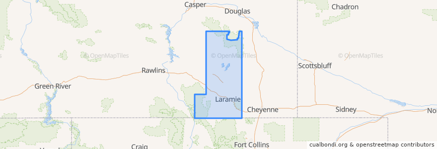
Wyoming
>
Albany County
Albany County
See in interactive map
Routes of public transport
Campus Commuter: West
LaramieLink: East
LaramieLink: West
South Express
Places
Laramie
(4)
Albany
(0)
Centennial
(0)
Rock River
(0)
The Buttes
(0)
Woods Landing-Jelm
(0)
Stops
-105.562194, 41.3136159
Wyoming Union
-105.5606384, 41.313638100000006
Classroom Building
Enzi STEM Laboratories
South Express Lot
Residence Halls/IT
Gateway Center/UW Plaza
Wyoming Union
Points of interest
The Rising Cafe
ACPE Federal Credit Union
The UPS Store
Wheel Chair Access\Garbage Can
Warren Credit Union
Snowy Range Academy
McAlister's Deli
Islamic Center of Laramie
Albany
First Christian Church
Mr. Jim's
Bike rack
St. Andrew's Lutheran Church and Campus Center
USA Gasoline
Rock River
Kum & Go
Coal Creek Cafe
New Testament Missionary Baptist Church
Buckhorn Bar
Laramie
McDonald's
Albany County Public Health
Grand Avenue Dental Center
Washington School
UPS Drop Box
Albany County School District Special Services
Albany County Detention Center, Police and Sheriff Station.
Gryphon Theatre
Nature's Child Waldorf School
Perkins