Ouverture de session
Utilisateurs étoile
Sondage
Accueil
>
États-Unis d'Amérique
>
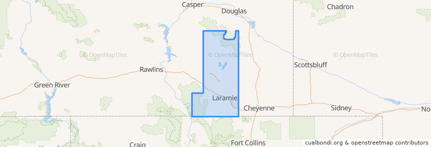
Wyoming
>
Albany County
Albany County
Voir sur la carte interactive
Itinéraires des transports publics
Campus Commuter: West
LaramieLink: East
LaramieLink: West
South Express
Endroits
Laramie
(4)
Albany
(0)
Centennial
(0)
Rock River
(0)
The Buttes
(0)
Woods Landing-Jelm
(0)
Arrêts
Enzi STEM Laboratories
-105.5606384, 41.313638100000006
South Express Lot
Wyoming Union
Wyoming Union
Gateway Center/UW Plaza
Residence Halls/IT
-105.562194, 41.3136159
Classroom Building
Points d'interêts
Memory Bench
Albany County Detention Center, Police and Sheriff Station.
Albany County Public Health
Centennial
Zion Lutheran Church
McAlister's Deli
Gasamat
Laramie
Bike rack
Washington School
Enterprise
Jimmy John's
The Buttes
St. Andrew's Lutheran Church and Campus Center
Buckhorn Bar
McDonald's
The UPS Store
Albany
The Rising Cafe
Corona Village Andale Rapido
Nature's Child Waldorf School
Rock River
Park Rules/Dog Poop Bags
New Testament Missionary Baptist Church
Grand Avenue Dental Center
ACPE Federal Credit Union
Woods Landing-Jelm
Coal Creek Cafe
Stanton School
Islamic Center of Laramie