تسجيل الدخول
مستخدمي ستار
تصويت
الصفحة الرئيسية
>
الولايات المتّحدة الأمريكيّة
>
نيو جيرسي
>
Middlesex County
>
Perth Amboy
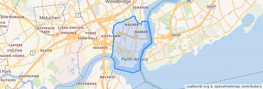
Perth Amboy
انظر في الخريطة التفاعلية
طرق النقل العام
NJTB - 48 - Elizabeth to Perth Amboy
NJTB - 48 - Perth Amboy to Elizabeth
NJTB - 815 - Perth Amboy to Woodbridge Center
NJTB - 815 - Woodbridge Center to Perth Amboy
NJTB - 817 - Campbell's Junction to Perth Amboy
NJTB - 817 - Perth Amboy to Campbell's Junction
موقف
Rector Street at Washington Street
Smith Street at Davidson Avenue
Rector Street at Washington Street
State Street at Hall Avenue
State Street at Smith Street
State Street at Smith Street
State Street at Hall Avenue
مجالات الاهتمام
Mobil
Our Lady of Peace Elementary School
McDonald's
La Asumption
Holy Trinity Church
William C McGinnis Middle School
Hungarian Reformed Church
Glad Tidings Assembly of God Church
Westminster House Historical Site
Dunkin' Donuts
Liberty Truck Company Number 2
Luigi's Ristorante & Pizzeria
Holliwood Mexican
Anthony V Ceres Elementary School
Rite Aid
Assumption Catholic School
Perth Amboy Catholic Intermediate School
Subway
Cathedral Preparatory Academy
Perth Amboy
Holy Trinity Roman Catholic Church
Saint John's First Hungarian Church
Number 7 Elementary School
Dunkin' Donuts
Saint Nicholas Catholic Church
John Calvin Magyar Reformed Church
Perth Amboy Police Station
Our Lady of Hungary Church
Beth Israel Synagogue
Holy Cross Episcopal Church