로그인
스타 사용자
투표
홈페이지
>
미국
>
뉴멕시코
>
Doña Ana County
>
Las Cruces
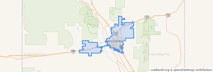
Las Cruces
대화식지도에서보기
대중 교통 경로
NMSU Blue
Valley - Hoagland - North Solano - Walnut - Missouri
장소
New Mexico State University
(1)
버스 정류장
University Avenue
DACC on Gregg
Aggie Express
Tom Fort @ Espina
Williams/Stewart
Williams/Wells
Tom Fort @ Fite
Knox Hall Pond/Gerald Thomas
Union/Sam Steel
Enginnering 1 (EASTBOUND)
O'Donnell (EASTBOUND)
Research/Standley
Center Street
가볼만한 곳
Unity Church of Mesilla Valley
Lemongrass
Las Cruces Academy
G. Pavia MD
Starbucks
Sonic
One Stop
Wingstop
China Express
Subway
Southern New Mexico Correctional Facility Library
Valley Pizza
Mix Express
Hurricane Alley
New Mexico State University
Mix Pacific Rim Cuisine
Memorial General Hospital Library
High Desert Brewing Company
Katana Teppanyaki Grill
Taste of India
Zeffiro New York Pizzeria
Las Cruces
Truth or Consequences Brewing Co
Nellie's Cafe
K-Bob's Steakhouse
Quiznos
Carrillo's Cafe
Milagro Community Care
Papa Murphy's
Keva Juice