ログインする
スターユーザー
投票
ホーム
>
アメリカ合衆国
>
ユタ州
>
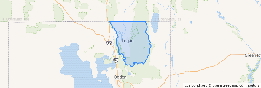
Cache County
Cache County
インタラクティブマップで見る
公共交通機関のルート
9
Route 1
Route 2
Route 3 - Island, Cliffside
Route 4 - USU, 1000 N 600 E
場所
Logan
(5)
North Logan
(1)
River Heights
(1)
Amalga
(0)
Cache
(0)
Clarkston
(0)
Cornish
(0)
Hyde Park
(0)
Hyrum
(0)
Lewiston
(0)
Mendon
(0)
Millville
(0)
Newton
(0)
Nibley
(0)
Paradise
(0)
Peter
(0)
Providence
(0)
Richmond
(0)
Smithfield
(0)
Trenton
(0)
Wellsville
(0)
興味がある点
Indian Oven
Papa John's
Shell
A&W
Richmond
Five Guys
Pizza Hut
The Church of Jesus Christ of Latter-day Saints
Angie's
Holy Trinity Lutheran Church
Takara Sushi
The Church of Jesus Christ of Latter-day Saints
Trenton
Edith Bowen School
The Church of Jesus Christ of Latter-day Saints
First Baptist Church
Dunkin' Donuts
Burger King
Cornish
Wellsville
Nibley
Research Greenhouse Complex
The Church of Jesus Christ of Latter-day Saints
Costa Vida
Saint Johns Episcopal Church
Clarkston
Dickey's Barbecue Pit
Walgreens
Einstein Bros. Bagels
Chevron