Ouverture de session
Utilisateurs étoile
Sondage
Accueil
>
États-Unis d'Amérique
>
Utah
>
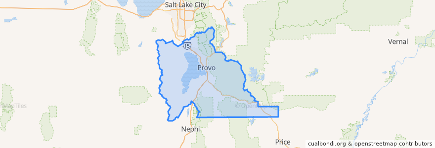
Utah County
Utah County
Voir sur la carte interactive
Itinéraires des transports publics
Heber Valley Railroad
UTA Route 841 UVU/Orem Station
UTA Route 864 Lehi Station/Thanksgiving Point
Endroits
Lehi
(1)
Orem
(1)
Vineyard
(1)
Alpine
(0)
American Fork
(0)
Cedar Fort
(0)
Cedar Hills
(0)
Eagle Mountain
(0)
Elk Ridge
(0)
Fairfield
(0)
Genola
(0)
Goshen
(0)
Highland
(0)
Lindon
(0)
Mapleton
(0)
Payson
(0)
Pleasant Grove
(0)
Provo
(0)
Salem
(0)
Santaquin
(0)
Saratoga Springs
(0)
Spanish Fork
(0)
Springville
(0)
Woodland Hills
(0)
Arrêts
Vivian Park
Points d'interêts
Subway
Saratoga Springs
Aubergine & Company
Lindon
Utah County
Goshen
Vineyard
Subway
Ice Cream Shop
Payson
Alpine
Mammoth Screen Theater
The Church of Jesus Christ of Latter-day Saints
SLABpizza
Provo
Pleasant Grove
Starbucks
Santaquin
Dickey's
Harvest Restaurant
Mo Bettahs
Cedar Hills
Ragan Theatre
Five Buck Pizza
Orem
Springville
Cedar Fort
Salem
Highland
American Fork