로그인
스타 사용자
투표
홈페이지
>
미국
>
미네소타
>
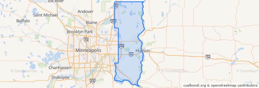
Washington County
Washington County
대화식지도에서보기
대중 교통 경로
Metro Transit 270E (eastbound)
Metro Transit 350 (eastbound)
Metro Transit 350 (westbound)
Metro Transit 375 (eastbound)
장소
Woodbury
(3)
Oakdale
(2)
Birchwood Village
(1)
Lake Elmo
(1)
Mahtomedi
(1)
Afton
(0)
Bayport
(0)
Cottage Grove
(0)
Dellwood
(0)
Forest Lake
(0)
Grant
(0)
Hugo
(0)
Lakeland
(0)
Lakeland Shores
(0)
Lake St. Croix Beach
(0)
Landfall
(0)
Marine on St. Croix
(0)
Newport
(0)
Oak Park Heights
(0)
Pine Springs
(0)
Scandia
(0)
Stillwater
(0)
St. Paul Park
(0)
가볼만한 곳
St. Paul Park
Jethros Char House
Lake St. Croix Beach
Willernie Post Office
St. Marys Point
Buffalo Wild Wings
Lakeland Shores
Birchwood Village
Pine Springs
Dellwood
Milio's Sandwiches
Willernie
Lake Elmo
Oakdale
Landfall
Afton
Hugo
Bayport
Portillo's
Oak Park Heights
Taco Libre
Washington County
Cat Care Clinic
Forest Lake
Silver Lake Animal Hospital
Cottage Grove
Oakdale Corner
Woodbury
Scandia
Lakeland