Login
Star users
Poll
Home
>
United States
>
Indiana
>
Clark County
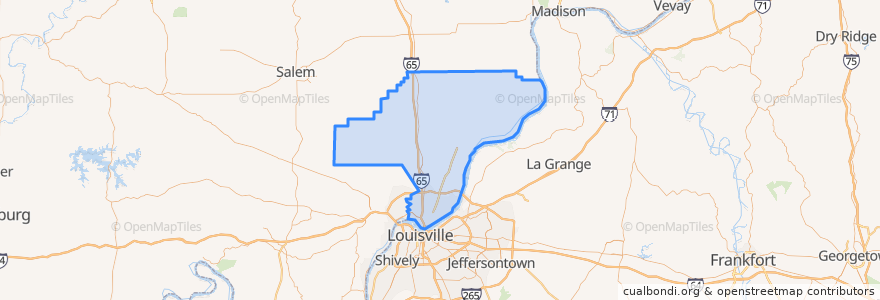
Clark County
See in interactive map
Routes of public transport
65X Sellersburg Express Northbound
71 Jeffersonville - Louisville - New Albany Eastbound Alternate
72 Clarksville Northbound
72 Clarksville Southbound
82 New Albany - Clarksville Crosstown Eastbound (alternate)
82 New Albany - Clarksville Crosstown Eastbound (regular)
82 New Albany - Clarksville Crosstown Westbound (regular)
Places
Jeffersonville
(7)
Clarksville
(6)
Sellersburg
(1)
Borden
(0)
Charlestown
(0)
Stops
Jefferson Towne Center
Sellersburg Ivy Tech
8th / Springdale
10th / Sportman
Little League / Eastern
Meijer / Allison Lane
Greentree / Lewis & Clark
Greentree Mall Sears
Sam Gwin / Progress
Spring / Court
Points of interest
Red Yeti Brewing Company
Clark County
Dari-Mart
Chuey's
KFC
Faith Church
Come Back In
Kansai Japanese Steakhouse & Sushi Bar
Circle K
Pearl Street Treats
Papa Murphy's
Krispy Kreme Donut
McAlister's Deli
Zaxby's
Warder Park Gazebo
Hertz
Blaze Pizza
Meijer Gas Station
White Castle
W E Wilson Elementary School
Parlour
Thornton's
Borden
Northaven Elementary School
Sacred Heart of Jesus
300 Spring Street
BoomBozz Pizza & Taphouse
Sellersburg
Jeffersonville Fire Station
Enterprise