Login
Star users
Poll
Home
>
United States
>
Ohio
>
Summit County
>
Stow
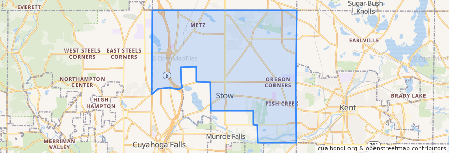
Stow
See in interactive map
Routes of public transport
Bus 30: Kent Central Gateway -> Downtown Kent -> Kent Free Library -> Silver Meadows Boulevard -> KSU Airport -> Target Plaza
Bus 30: Target Plaza -> Silver Meadows Boulevard -> Silver Meadows Boulevard -> Kent Free Libary -> Downtown -> Kent Central Gateway
Stops
Graham and Fishcreek Westbound
SR 59 and Taco Bell Eastbound
Stow Meijer
SR 59 and Stow Glen Westbound
SR 59 and Marsh Eastbound
KSU Airport
SR 59 and Stow Kent Plaza Westbound
Target Plaza
Fishcreek and National College Southbound
Graham and Stow High School Westbound
Fishcreek and Oregon Plaza Northbound
Fishcreek at Country Manor Southbound
Fishcreek and Oregon Plaza Southbound
Fishcreek and Greenlawn Northbound
Fishcreek and SR 59 Northbound
Fishcreek and Aldi Southbound
Fishcreek at Country Manor Northbound
Graham and Stow High School Eastbound
SR 59 and Stow Kent Plaza Eastbound
Fishcreek and National College Northbound
Graham and Fishcreek Eastbound
SR 59 and Taco Bell Westbound
Points of interest
sweetFrog
Jersey Mike's Subs
StowNut Donut & Diner
Discount Drug Mart
Dunkin' Donuts
Stow
Northwest
Chipotle
Panera Bread
Pizza Hut
Eddys
Corner Cup Coffee Shop
Subway
Old Carolina
Swensons
Subway
Starbucks
Moe's Southwest Grill