Login
Star users
Poll
Home
>
United States
>
New Mexico
>
Bernalillo County
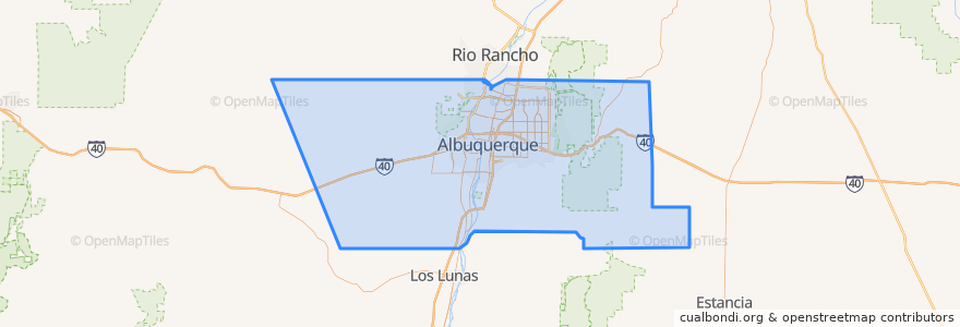
Bernalillo County
See in interactive map
Routes of public transport
ABQ RIDE Route 1 Juan Tabo Boulevard
ABQ RIDE Route 250 Airport/Downtown
ABQ RIDE Route 36 Rio Grande Boulevard/12th Street
ABQ RIDE Route 37 Rio Grande Boulevard/12th Street
ABQ RIDE Route 766 ART Red Line
ABQ RIDE Route 93 Academy Commuter
Rio Metro Route 366 Albuquerque/Route 66 Casino Hotel
Rio Metro Route 505 Bernalillo/Downtown Albuquerque
Places
Albuquerque
(8)
Carnuel
(0)
Cedar Crest
(0)
Chilili
(0)
Federal Aviation Administration
(0)
Isleta Village Proper
(0)
Los Ranchos de Albuquerque
(0)
North Valley
(0)
South Valley
(0)
Tijeras
(0)
Stops
UNM/CNM
West Downtown
Downtown
West Central
The Town of Atrisco
Barelas
International District
Airport Terminal @ Yale
-106.57090120000001, 35.1029791
Bay B
East Downtown
Highland
Old Town
San Mateo
UNM/Popejoy
Bay E
Alvarado Transportation Center
Bay N
-106.5792385, 35.0770356
Main Library
Bay F
The Bluffs
Nob Hill
BioPark
-106.72523620000001, 35.0787525
Presbyterian
Nob Hill East
Points of interest
Little Bear Coffee
Monte Vista Fire Station
Giant
Southwest Vascular & Vein Center
Whole Hog Cafe
Taco Bell
Pizza Hut
Subway
Chevron gas station
Jason's Deli
Pei Wei
Gazebo
Vibrance
Japanese Kitchen Sushi Bar
Sandia Crest Pizza
Phillips 66
Sunshine Theatre
Monroe's
Triangle Park Police Substation
Compass Bank
Phillips 66
Dickey's Barbecue Pit
Chevron
Fill-Up
FedEx
Limonata
Panda Express
Y-Mart
Two Fools Tavern
Burger King