Login
Star users
Poll
Home
>
United States
>
Oregon
>
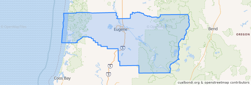
Lane County
Lane County
See in interactive map
Routes of public transport
5th Street/Hayden Bridge
Amtrak Cascades: Eugene => Seattle
Amtrak Cascades: Portland => Eugene
Barger/West 11th
Centennial
Flixbus 2110: Eugene => Seattle
Flixbus 2110: Seattle => Eugene
Mohawk
North Park
UO/Seneca Station
UO/Warren
West 18th Avenue
West 1st Avenue
Places
Eugene
(11)
Springfield
(5)
Coburg
(2)
Junction City
(2)
Cottage Grove
(0)
Creswell
(0)
Dunes City
(0)
Florence
(0)
Lowell
(0)
Oakridge
(0)
Veneta
(0)
Westfir
(0)
Stops
Eugene-Springfield
River Road and Park Avenue
FlixBus Eugene
FlixBus Eugene
Eugene-Springfield
Points of interest
Astro
Shari's
Springfield Family Physicians
Metro Bru
Cafeteria
Overtime Grill
Yogurt Extreme
Big Town Hero
MOD Pizza
Science Library Cafe
Cool Beanz Coffee
OsteoStrong
Southpaw’s Pizza
Farmers Union Coffee Roasters
Actors Cabaret of Eugene
Pakmail
Starbucks
NW Community Credit Union
First Baptist Church
Kun Fusion
onPoint
Panda Express
U.S. Bank
Uniquely Chengdu
Defensive Firearms Instruction
Dux Bistro
Brail's on 5th
Granary Pizza Co.
Hot Mama's Wings
Washington Federal Bank