Login
Star users
Poll
Home
>
United States
>
Oregon
>
Lane County
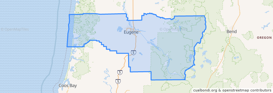
Lane County
See in interactive map
Routes of public transport
5th Street/Hayden Bridge
Amtrak Cascades: Eugene => Seattle
Amtrak Cascades: Portland => Eugene
Barger/West 11th
Centennial
Flixbus 2110: Eugene => Seattle
Flixbus 2110: Seattle => Eugene
Mohawk
North Park
UO/Seneca Station
UO/Warren
West 18th Avenue
West 1st Avenue
Places
Eugene
(11)
Springfield
(5)
Coburg
(2)
Junction City
(2)
Cottage Grove
(0)
Creswell
(0)
Dunes City
(0)
Florence
(0)
Lowell
(0)
Oakridge
(0)
Veneta
(0)
Westfir
(0)
Stops
River Road and Park Avenue
FlixBus Eugene
Eugene-Springfield
FlixBus Eugene
Eugene-Springfield
Points of interest
Jersey Mike's Subs
Astro
Starbucks
Sushi Station
Bailey Hill Family Dentist Center
Cornbread Cafe
Fast Track Car Wash
Party Downtown
Falling Sky Pizzeria
Springfield Elks Lodge #2145
Chase
Chipotle
First National Taphouse
Umpqua Bank
Denny's
Malerische Gallery
Veneta
Lee’s Mongolian Grill
Junction City
Elmer’s
Lok Yaun
Hole-in-the-wall Barbecue
Albertson's
Springfield Lutheran Church
Granary Pizza Co.
Hirons
First Baptist Church
The Barn Light
Terry's Diner
Jack in the Box