Login
Star users
Poll
Home
>
United States
>
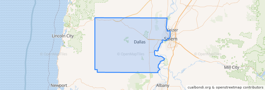
Oregon
>
Polk County
Polk County
See in interactive map
Routes of public transport
Bus 50X: Dallas => Salem
Bus 50X: Salem => Dallas
Cherriots 26 Glen Creek/Orchard Heights
Places
Dallas City Limits
(2)
Eola
(2)
Rickreall
(2)
Falls City
(0)
Grand Ronde
(0)
Independence
(0)
Monmouth
(0)
Stops
Dallas Walmart - 321 NE Kings Valley Hwy
Dallas Downtown - Jefferson at Oak
G
Dallas Downtown - Oak at Robb
West Valley Hospital - Washington at Lyle
Edgewater @ Rosemont
West Valley Hospital - Washington at Lewis
Points of interest
Lime Berry
Columbia Bank
Domino's
Oak Hills Veterinary Clinic
Grand Ronde
Blue Rhino
Redbox
Rickreall
Independence
McDonald's
MAPs Credit Union
West Salem Post Office
Fire Station #11
Rickreall Post Office
Wallace Learning Center
Eola Inn
Chevron
Dutch Bros. Coffee
Figaro's Pizza
AG West Supply Gas Station
Kingwood Bible Church
Walgreens
Little Lois Cafe
Orchard Heights Dental
Faith Christian School
Jersey Mike's Subs
Chase
Pizza Hut
La Hacienda Real
Monmouth