로그인
스타 사용자
투표
홈페이지
>
미국
>
텍사스
>
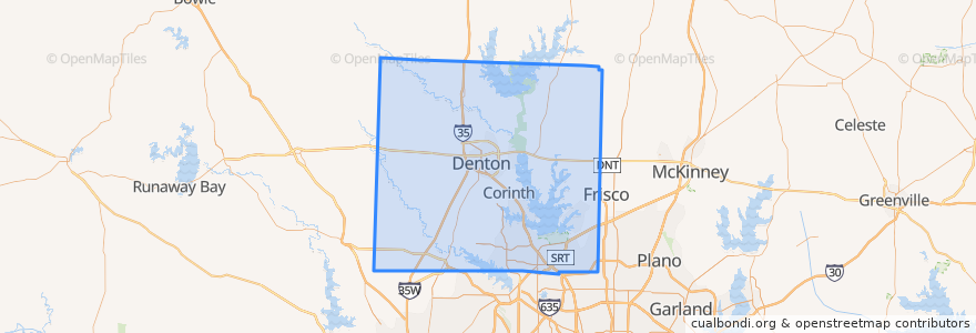
Denton County
Denton County
대화식지도에서보기
대중 교통 경로
Amtrak Heartland Flyer: Oklahoma City => Fort Worth
DART 531 Baylor Medical/Farmers Branch Station
Green Line: Buckner => North Carrollton/Frankford
Green Line: North Carrollton/Frankford => Buckner
Green Line: North Carrollton/Frankford => Fair Park
Green Line: North Carrollton/Frankford => Walnut Hill/Denton
Green Line: Walnut Hill/Denton => North Carrollton/Frankford
Mean Green
장소
Denton
(2)
Justin
(1)
Krum
(1)
Northlake
(1)
Ponder
(1)
Sanger
(1)
Argyle
(0)
Aubrey
(0)
Bartonville
(0)
Copper Canyon
(0)
Corinth
(0)
Cross Roads
(0)
DISH
(0)
Double Oak
(0)
Flower Mound
(0)
Hackberry
(0)
Hebron
(0)
Hickory Creek
(0)
Highland Village
(0)
Krugerville
(0)
Lake Dallas
(0)
Lakewood Village
(0)
Lewisville
(0)
Lincoln Park
(0)
Little Elm
(0)
Oak Point
(0)
Pilot Point
(0)
Roanoke
(0)
Shady Shores
(0)
The Colony
(0)
Trophy Club
(0)
버스 정류장
-96.937076, 32.9917676
-96.93698930000001, 32.9918244
Fouts Field Transfer
Kerr Hall
Maple Hall
Student Rec Center
-97.1494878, 33.2156466
Mozart Square / Gateway
College Inn / EESAT
가볼만한 곳
Fuzzy's Taco Shop
Bartonville
Krum
Little Elm
Justin
Wells Fargo
Argyle
Justin Methodist Church
Denton
Vietbites
Starbucks
Jamba Juice
Taco Bueno
The Colony
Side Bar
Insomnia Cookies
Krispy Krunchy Chicken
Shady Shores
Sushi Cafe & Bar
Emergency Phone
Justin Fire Department
Lincoln Park
Crooked Crust
Cross Roads
Lonesome Spur
Kerr Cafeteria
Pita Pit
Krum United Methodist Church
Hickory Creek
Northlake