Perhentian
- -97.44549040000001, 35.2038734
- -97.45873990000001, 35.203920700000005
- -97.4514537, 35.2038808
- 36th NW/Quail
- Robinson/24th NW
- Whittier Middle School
- Asp/3rd St. (southbound)
- Lindsey/Wylie (westbound)
- 36th NW/Robinson (Brookhaven Village)
- Brooks/Jenkins
- SLSRC
- -97.46241040000001, 35.2039715
- Lindsey/Flood
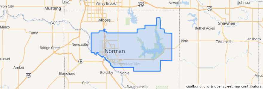
- Norman
- Lindsey/Berry (eastbound)
- Lindsey/Lahoma
- 24th SW/Lindsey
- Interstate Dr./Copperfield
- NWC and SRTC
- Brooks Street Transfer Station
- Campus Depot
- Brooks/Monnett
- -97.45843670000001, 35.2039193
- -97.45253450000001, 35.2038853
- -97.4862588, 35.2214408
- OCCE (southbound)
- -97.43945690000001, 35.1892274
- -97.49072600000001, 35.260497400000006
- River Oaks/Cotswold (Sooner Mall)
- -97.48610330000001, 35.229668100000005
Tempat menarik