로그인
스타 사용자
투표
홈페이지
>
미국
>
오리건
>
Clackamas County
>
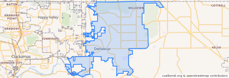
Damascus
Damascus
대화식지도에서보기
대중 교통 경로
Bus 30: Clackamas Town Center => Estacada
Bus 30: Estacada => Clackamas Town Center
Bus 30: Estacada => Portland
Bus 30: Portland => Estacada
버스 정류장
16000 Block Southeast Highway 224
17400 Block Southeast Highway 224
Southeast Highway 224 & Springwater Road
Southeast Highway 224 & Goosehollow
16000 Block Southeast Highway 224
16400 Block Southeast Highway 224
Southeast Highway 224 & Eilers Circle
Southeast Highway 224 & 232nd Drive
Southeast Highway 224 & Goosehollow
Southeast Highway 224 & 232nd Drive
Southeast Highway 224 & Eckert Ln
Southeast Highway 224 & Eilers Circle
17500 Block Southeast Highway 224
17300 Block Southeast Highway 224
16200 Block Southeast Highway 224
Southeast Highway 224 & Eckert Ln
16400 Block Southeast Highway 224
15700 Block Southeast Highway 224
가볼만한 곳
Carver Community Church
Carver Hangar
Damascus
Carver Cafe