로그인
스타 사용자
투표
홈페이지
>
미국
>
오리건
>
Clackamas County
>
Wilsonville
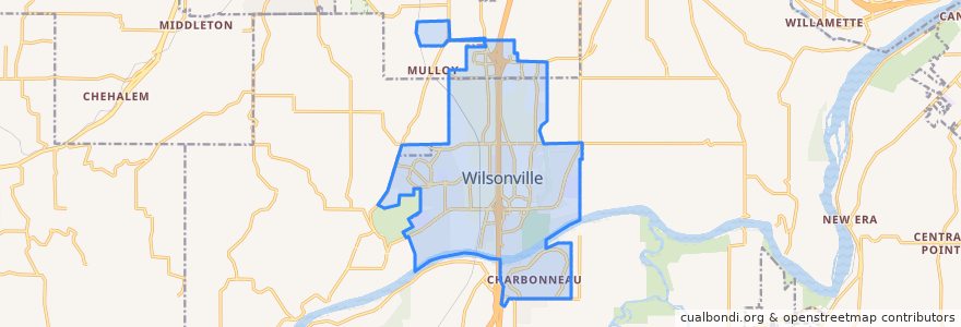
Wilsonville
대화식지도에서보기
대중 교통 경로
Bus 2X: Barbur Boulevard Transit Center => Wilsonville
Bus 2X: Barbur Boulevard Transit Center => Wilsonville via Mentor Graphics
Bus 2X: Wilsonville => Barbur Boulevard Transit Center
Bus 2X: Wilsonville => Barbur Boulevard Transit Center via Mentor Graphics
Bus 96: Portland => Tualatin
Bus 96: Tualatin => Portland
Flixbus 2110: Eugene => Seattle
Flixbus 2110: Seattle => Eugene
TriMet WES: Beaverton Transit Center => Wilsonville
TriMet WES: Wilsonville => Beaverton Transit Center
버스 정류장
Elligsen Road @ Argyle Square Northeast
Wilsonville
Southwest 95th & Commerce Circle
Elligsen Road @ Argyle Square Southeast
SMART Central at Wilsonville Station
10100 Block Southwest Commerce Circle
SMART Central at Wilsonville Station
가볼만한 곳
U.S. Bank
Red Robin
Baskin-Robbins
Sushi Track
USPS
Blue Rhino
Corner Coffee Shoppe
Juan Colorado
Villiage At Main Gazebo
Walgreens
USPS
Fred Meyer
UPS
Blink
Vanguard Brewing Company
Western Union
Pacific Pride
USPS
Wilsonville
Wells Fargo
Domino's
Jimmy John's
Grace Chapel
Chipotle
Banfield Pet Hospital
SMART Central at Wilsonville Station
Dar Essalam
Redbox
Thai Village Restaurant
Christian Missionary Alliance