Login
Star users
Poll
Home
>
United States
>
Oregon
>
Washington County
>
Hillsboro
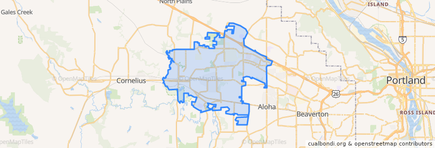
Hillsboro
See in interactive map
Routes of public transport
Bus 46: Hillsboro Brookwood Library=> Hillsboro Transit Center
Bus 46: Hillsboro Transit Center => Hillsboro Brookwood Library
Bus 47: Hillsboro Transit Center => Portland Community College Rock Creek
Bus 47: Portland Community College Rock Creek => Hillsboro Transit Center
Bus 48: Hillsboro Transit Center => Sunset Transit Center
Bus 48: Sunset Transit Center => Hillsboro Transit Center
Bus 52: Beaverton Transit Center => Portland Community College Rock Creek
Bus 52: Portland Community College Rock Creek => Beaverton Transit Center
Bus 57: Beaverton Transit Center => Forest Grove
Bus 57: Forest Grove => Beaverton Transit Center
Bus 59: Sunset Transit Center => Willow Creek Transit Center
Bus 59: Willow Creek Transit Center => Sunset Transit Center
Bus 5: Portland => Tillamook
Bus 5: Tillamook => Portland
Bus 88: Beaverton Transit Center => Willow Creek Transit Center
Bus 88: Willow Creek Transit Center => Beaverton Transit Center
MAX Blue Line: Gresham => Hillsboro
MAX Blue Line: Hillsboro => Gresham
North Hillsboro Link: Orenco Station => Westmark Center
North Hillsboro Link: Westmark Center => Orenco Station
Stops
18000 Block Northwest Walker
Southeast Baseline Street & 2nd
Southwest 185th & West Baseline
West Baseline Road & Southwest 185th
Southeast 10th & Walnut
West Baseline & Southwest 185th
Southeast 10th & Washington
North 1st & Northeast Tiffany
Northeast 34th & Cornell
Northeast Cornell & Cornelius Pass
Northeast Evergreen & Brookwood
Hatfield Government Center
Northeast 25th & Cornell
Northeast Cornell & Orenco Station Pkwy
Northwest 185th & Cornell
Southeast 10th & Baseline
Hillsboro Transit Center
Southwest Baseline & Adams
Northeast Cornell & Amberglen (NW Amberwood)
Fair Complex/Airport Park & Ride
Northeast Cornell & 48th
East Main & Southeast 12th
Tuality Hospital/Southeast 8th Avenue
Bennett Street
East Main & Northeast 12th
Northeast Brookwood Pkwy & 49th Place
Northwest 185th & Heritage Pkwy
Willow Creek Transit Center/Southwest 185th Avenue
Southeast Tualatin Valley Highway & 11th Northbound
Northeast 15th & Jones Farm Pkwy
Points of interest
Juice It Up
Smith Dental
Lil Cooperstown Pub
Northwest Christian Evangelistic Associates
Primrose & Tumbleweeds
De Paul Treatment Centers Outpatient Services
WeVillage
Little Free Library
Evergreen Post Office
Hillsboro Dental Center
Hawaiian Kine BBQ
El Chino Taqueria
Japan Karate Federation Ryobu-kai NW
Washington Street Conference Center
ChargePoint
ChargePoint
Pho Tango
Orenco Taphouse
Starbucks
Banner Bank
Mariscos Las Islas
Sushi and Maki
Thai Princess
The Salvation Army Tualatin Valley Citadel
Splash Play Area
Teriyaki Bowl
Good Taste Noodle House
USPS
Starbucks
Virginia Garcia Women's Clinic