وارد شدن
کاربران ستاره
نظرسنجی
شروع
>
ایالات متحده آمریکا
>
پنسیلوانیا
>
Allegheny County
>
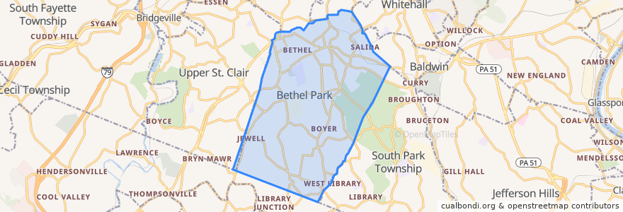
Bethel Park
Bethel Park
در نقشه تعاملی مشاهده کنید
مسیرهای حمل و نقل عمومی
PAT Blue Line: Allegheny → South Hills Village
PAT Blue Line: South Hills Village → Allegheny
PAT Red Line: Allegheny → South Hills Village
PAT Red Line: South Hills Village → Allegheny
PAT Silver Line: Allegheny → Library
PAT Silver Line: Library → Allegheny
ایستگاه
Munroe
Dorchester
Munroe
Sandy Creek
West Library
Mesta
Highland
Washington Junction
Highland
Munroe
Bethel Village
Lytle
South Park
Beagle
Washington Junction
Sandy Creek
Casswell
Lytle
King's School
Dorchester
Bethel Village
Hillcrest
South Hills Village
West Library
Logan
Logan
Hillcrest
Beagle
Sandy Creek
Sandy Creek
نقاط مورد علاقه
Holiday Retirement Bethel Park
Market District
Golden Wok Inn
Rita's
Dairy Queen
Bethel Park City Hall
JP's
Citizens Bank
KeyBank
Pennsylvania-American Water Federal Credit Union
Subway
Bethel Park Library
Allegheny Physical Medicine
Patsy's Place
Frank's Pub and Grill
Pizza Hut
Domino's Pizza
PATransit South Hills Village Garage
Jeffrey P. Verner
Helmet Heads
Live Oils Pizzeria
Bethel Park Police Department
South Central Area Special School
Bethel Park Animal Clinic
Pittzarella
Starbucks
Bethel Park