Ouverture de session
Utilisateurs étoile
Sondage
Accueil
>
États-Unis d'Amérique
>
Utah
>
Salt Lake County
>
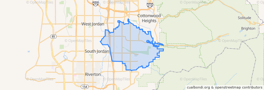
Sandy
Sandy
Voir sur la carte interactive
Itinéraires des transports publics
Blue Line to Draper Town Center
Blue Line to Salt Lake Central
UTA Route 218 South Jordan (to South Jordan Station)
UTA Route 218 South Jordan (to West Jordan City Center Station)
UTA Route 320 Highland Drive Fast Bus (to 9400 South 2000 East Park and Ride)
UTA Route 320 Highland Drive Fast Bus (to Downtown Salt Lake)
UTA Route 354 Sandy/U of U Fast Bus (to 9400 South 2000 East Park & Ride)
UTA Route 354 Sandy/U of U Fast Bus (to U of U Medical Center)
UTA Route 525 Midvale Shuttle
Endroits
White City
(0)
Arrêts
Sandy Expo
Sandy Civic Center
Crescent View
Crescent View
Crescent View
Points d'interêts
Sandy City Fire Deparment
The Church of Jesus Christ of Latter-day Saints
Harmons Pharmacy
Chase
Subway
The Church of Jesus Christ of Latter-day Saints
Club 90
Schlotzsky's
Jehovahs Witnesses Sandy Congregation
KeyBank
White City
Domino's
Chevron
Lake hill memorial worship wall
Rich's Bagels
Cantina Southwestern Grill
Smith's Gas
Alta Canyon Post Office
Starbucks
Sandy Civic Center
Joe's Crab Shack
9400 S / 2000 E
Arby's
Jordan Credit Union
Walgreens
Willow Creek Car Wash
Copperview School
Costa Vida
The Church of Jesus Christ of Latter-day Saints
Rite Aid