Log masuk
Pengguna bintang
Undian
Laman utama
>
Amerika Syarikat
>
Virginia
>
Norfolk
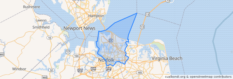
Norfolk
Lihat di peta interaktif
Laluan pengangkutan awam
EVMC/Fort Norfolk Station => Newtown Road
HRT Route 27
Newtown Road => EVMC/Fort Norfolk Station
Perhentian
Ingleside Road Station
Harbor Park Station
York St/ Freemason Station WB
Ingleside Road Station
NSU Station
Ballentine / Broad Creek Station WB
Monticello Station
MacArthur Square Station WB
Eastern Virginia Medical College/Fort Norfolk Station
Harbor Park Station
MacArthur Square Station WB
Civic Plaza Station WB
Military Highway Station
York St/ Freemason Station WB
Newtown Road
NSU Station
Civic Plaza Station EB
Ballentine / Broad Creek Station WB
Monticello Station
Military Highway Station
Tempat menarik
The Local
Benjack Studio Theater
Norfolk Tap Room
Lamia's Crepes
Chartway Credit Union
Norfolk Fire / Rescue Administration
Roadstead Montessori High School
Ghent Montessori School Art Building
Saint Germain
New Light Christian Church
Norfolk
Leonne's On The Side
Stripers Waterside
Taco Bell
FM Restaurant
Luk Fu
3-Way Cafe
Norfolk Police Department
Saltine
Norfolk Coffee & Tea
Ghent Montessori Middle School
Starbucks
Fruitive
Guy Fieri's Smokehouse
Pourhose of Norfolk
Tap It
Chipotle
Ciniva
Latte Cafe
The Vineyards