Login
Star users
Poll
Home
>
United States
>
California
>
San Diego County
>
Carlsbad
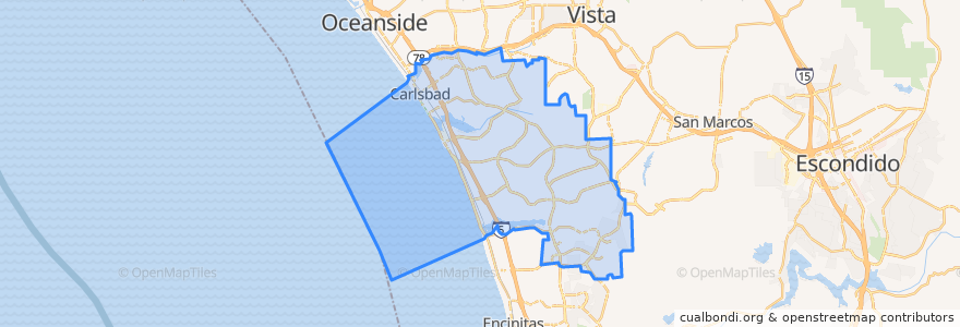
Carlsbad
See in interactive map
Routes of public transport
COASTER: Oceanside <=> San Diego
COASTER: San Diego <=> Oceanside
Flixbus 2016: Las Vegas => San Diego
Flixbus 2016: San Diego => Las Vegas
Flixbus N2003: San Diego => San Francisco
Flixbus N2003: San Francisco => San Diego
NCTD 304 (westbound via El Camino Real & Garden View Road)
NCTD 304 (westbound via Rancho Santa Fe Road & Encinitas Boulevard)
NCTD 444 (northbound)
NCTD 444 (southbound)
Stops
Aston Avenue And Rutherford Road
Palomar Airport Road and Hidden Valley Road
-117.31895580000001, 33.1096086
Palomar Airport Road and College Boulevard
Aston Avenue And Rutherford Road
Palomar Airport Road and The Crossings Drive
College Boulevard and Aston Avenue
-117.2890354, 33.132272300000004
College Boulevard and Aston Avenue
-117.3188896, 33.1097091
College Boulevard and Aston Avenue
Avenida Encinas and Carlsbad Water Recycling Facility
Carlsbad Village
Palomar Airport Road and College Boulevard
Aston Avenue And Rutherford Road
Carlsbad Village
College Boulevard and Aston Avenue
Palomar Airport Road and College Boulevard
Carlsbad Poinsettia
College Boulevard and Aston Avenue
Palomar Airport Road and Hidden Valley Road
Avenida Encinas and Carlsbad Water Recycling Facility
Palomar Airport Road and The Crossings Drive
Palomar Airport Road and College Boulevard
Points of interest
SubZero
Subway
Joses Taco Shop
Crossorads Community Church
Paradise Pizza
Carlsbad Village Pharmacy
Unity Christ Church
Golden Tee Lounge
Starbucks
Jersey Mike's Subs
Shorehouse Kitchen
Ruby’s Diner
Theofisher SD / B18
Rita's Carlsbad
Union Church
Mexico Viejo
Wetzel's Pretzels
Chandler's
Theofisher SD / B11 B12
Vigiluccis
Starbucks
Costco Food Court
Subway
Garden State Bagels
La Palma High School
El Puerto Mexican & Seafood
Stephen A. Lawrence, DDS, Inc.
Barrel Republic
Theofisher SD / B15 B16
Swirlicious Frozen Yogurt