Login
Star users
Poll
Home
>
United States
>
Massachusetts
>
Norfolk County
>
Brookline
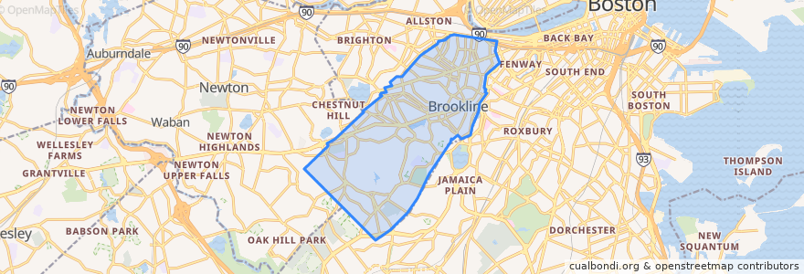
Brookline
See in interactive map
Routes of public transport
MBTA Green Line (C): Cleveland Circle → North Station
MBTA Green Line (C): North Station → Cleveland Circle
MBTA Green Line (D): Government Center → Riverside
MBTA Green Line (D): Riverside → Government Center
Stops
Englewood Avenue
Englewood Avenue
Brandon Hall
Tappan Street
Brookline Village
Summit Avenue
Brookline Village
Fairbanks Street
Brandon Hall
Summit Avenue
Dean Road
Washington Square
Reservoir
Beaconsfield
Saint Paul Street
Washington Square
Coolidge Corner
Brookline Hills
Kent Street
Tappan Street
Kent Street
Brookline Hills
Reservoir
Dean Road
Coolidge Corner
Saint Paul Street
Fairbanks Street
Beaconsfield
Points of interest
Brookline Village Post Office
Yasu
Sovereign Bank
Congregation Ohabei Shalom
Blue Bikes - Washington Square at Washington St. / Beacon St.
Brookline Bank
Santander
Mr. Sushi
Zaftigs Delicatessen
Latvian Lutheran Exile Church
Torah Academy
Starbucks
Rubin's Kosher Delicatessen and Restaurant
Temple Beth Zion
Saint Aidas Catholic Church
TD Bank
Fire Department Station Number Two
Brookline Fire Station Number 7
Starbucks
Bottega Fiorentina
J.P. Licks
Chase Bank
Gulf
New Rod Dee
CVS
Orinoco
Saint Mary of the Assumption Convent
Cutty's
Upper Crust Pizza
Fugakyu