Login
Star users
Poll
Home
>
United States
>
Washington
>
Benton County
>
Richland
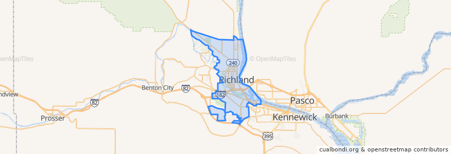
Richland
See in interactive map
Routes of public transport
Route 110 Eastbound
Route 110 Westbound
Route 120 Eastbound
Route 126 Saturday Northbound
Route 126 Saturday Southbound
Route 225 Eastbound
Route 225 Westbound
Route 25
Stops
George Washington & Symons
Duportail at Home Depot
Canyon & Desert Springs
Jadwin & Lee
Columbia Center Boulevard & Geneva
Columbia Point at WinCo
George Washington & Snyder
Bradley at Marina Vista
Wellsian & Lawless
Duportail at Walmart and Target
George Washington & Guyer
Knight Street Transit Center
George Washington & Saint
Bradley at Howard Amon Park
Columbia Point & Bradley
Columbia Point at WinCo
George Washington & University
Columbia Center Boulevard & Geneva
Thayer & Long
George Washington & Spring
George Washington & University
Van Giesen & Thayer
Van Giesen & Jones
Wellsian & Stevens
Sprout & Wazzu Place
Wazzu Place & Crimson
Columbia Park Trail at Ben Franklin Transit Administration
Thayer & Torbett
Crimson & University
Van Giesen & Perkins
Points of interest
Smile Surfers Kids Dentistry
Christ the King Church
Taco Time
Caterpillar Cafe
First Bank
Subway
Sterlings
Jamba Juice
Tri-City Orthodontics
FedEx
Lee's Tahitian Restaurant & Lounge
Five Guys
Christ the King School
Spudnuts Donuts
UPS
Panera Bread
Papa John's
MOD Pizza
Wingstop
A&W
Ray's Golden Lion Restaurant
Starbucks
Wendy's
Yakima Federal Savings and Loan
Walmart Pharmacy
Bright Now Dental
Starbucks
Kabob House
Chevron
Chon-ji Martial Arts