Log masuk
Pengguna bintang
Undian
Laman utama
>
Amerika Syarikat
>
Connecticut
>
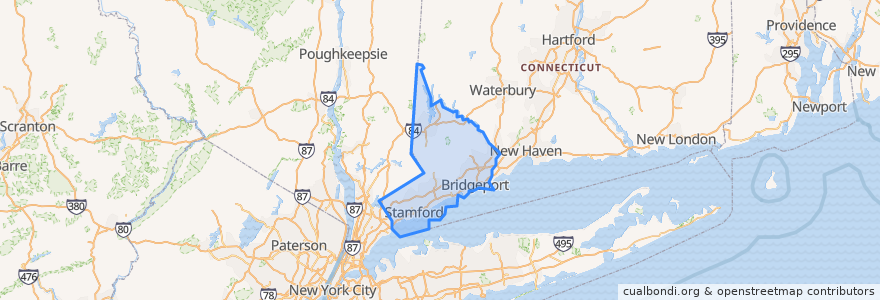
Fairfield County
Fairfield County
Lihat di peta interaktif
Laluan pengangkutan awam
CTtransit 335 Washington Boulevard
Flixbus 2610: Boston => New York City
Flixbus 2610: New York City => Boston
Flixbus N2610: Boston => Washington, D.C.
Flixbus N2610: Washington, D.C. => Boston
HARTransit 14 New Fairfield-Southeast Shuttle
Metro-North New Haven Line: Bridgeport <=> Waterbury
Metro-North New Haven Line: Stamford <=> New Canaan
NTD Greenwich Central Loop
NTD Greenwich West Loop
NTD Imperial Avenue Shuttle
NTD Westport S3
NTD Westport S4
NTD Wheels 10
NTD Wheels 13
Tempat
Greenwich
(7)
Norwalk
(6)
Stamford
(6)
Darien
(5)
Bridgeport
(4)
Fairfield
(4)
Stratford
(4)
New Canaan
(1)
New Fairfield
(1)
Bethel
(0)
Brookfield
(0)
Danbury
(0)
Easton
(0)
Monroe
(0)
Newtown
(0)
Redding
(0)
Ridgefield
(0)
Shelton
(0)
Sherman
(0)
Trumbull
(0)
Weston
(0)
Wilton
(0)
Perhentian
Talmadge Hill
Stamford
New Canaan
Springdale
Glenbrook
Tempat menarik
YB World Martial Arts Taekwondo Academy
Garden Cinemas
King Buffet
Fairfield School of Music
Wells Fargo
Saint Marys School
Mount Zion Baptist Church
Ferguson Library
Sherman
Giovani’s at the Water’s Edge
Starbucks
Church of God
Kingston Kafe
Weston
Vietnam Palace
Our House SoNo
Newtown
Roasted
Colony Grill
McDonald's
Dunkin' Donuts
Troupe429
Mobil
Shiloh Baptist Church
Stratford
Robeks Juice
Wendy's
Greenwich Fire Chief's Office
Criterion Cinemas at Greenwich Plaza
Bell Street Garage