Login
Star users
Poll
Home
>
United States
>
North Carolina
>
Watauga County
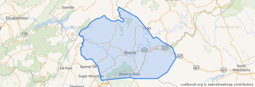
Watauga County
See in interactive map
Routes of public transport
Pop 105
Places
Boone
(1)
Blowing Rock
(0)
Stops
Highland Avenue
Oak Grove Road
Homespun Hills Road
ASU Walker Hall / Rivers Street
McDonald's
Human Services Center
AppalCART
Hodges Gap Road
King Street / Water Street
ASU Schaefer Center
Builder's Plaza
ASU Technology
Long Street
Forest Edge
Heritage Court
Ram's Rack
Westhaven
High County Condos
Casa Rustica
NC 105 Bypass / US 421
ASU Convocation Center
Poplar Hill Drive
George Wilson Road / Vet Hospital 1
ASU CAP Building
NC 105 Crosswalk
University Highlands
Points of interest
Noodle Works
Sabeing
Watauga County
Fire Side Pizza
Vidalia Restaurant & Wine Bar
Ransom
Terra Verde
Watauga Veterinary Hospital
Tucker's Cafe
Subway
GE WattStation
Bald Guy Brew
Hayes Cemetery
Seven Devils
I.G. Greer Auditorium
Rivers Street Grille
Barberitos
King Street Creamery
Boone
Melanie's
Appalachian Mountain Brewery
Café Portofino
Homestyle Classics
The Local
The Fresh Market
Cha Da Thai
Our Daily Bread
Horn in the West
F.A.R.M. Cafe
Crossroads Cafe