Login
Star users
Poll
Home
>
United States
>
Virginia
>
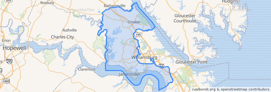
James City County
James City County
See in interactive map
Routes of public transport
Blue Line/Richmond Rd to Walmart
Blue Line/Richmond Rd to WTC
Jamestown-Jamestown Settlement
Orange/Merrimac Trail to WTC
Stops
Jamestown Rd & London Company Way
Jamestown Settlement
Jamestown Rd & Ironbound Rd
Merrimac Trl & Douglas Dr
Jamestown Rd & Route 199 (CVS)
Jamestown Rd & Consulate Healthcare
Richmond Rd & Stratford Rd
Williamsburg Crossing S/C @ DMV
Richmond Rd & Forest Heights IB
Richmond Rd & Herndon-Jenkins Dr
Riverside Health Care (Kings Way)
Richmond Rd & Olde Towne Rd
Richmond Rd & Patriot Plaza IB
Richmond Rd & Forest Heights OB
Richmond Rd & Patriot Plaza OB
Richmond Rd & Village of Westminster
Jamestown Rd & Colony Square S/C
Richmond Rd & Airport Rd
Williamsburg Crossing S/C Food Lion
Points of interest
Chicken Now
Lightfoot Post Office
Sbarro
Taco Bell
China Max
Miyaki Sushi & Grill
Citgo
James City County Fire Department Station 3
Astronomical Pancake House
Rawls Byrd Elementary School
Kingdom Hall of Jehovahs Witness
TGI Friday's
Berkeley Commons Outlet Center
Pizza
Auntie Anne's
Zion Church
Oceans & Ale
SunTrust
Saint Martins Church
Frankie's Deli
Walnut Hill Church
Shell
J. J. Jitterzz Koffee
James City County
Bilsburg Brewery
Ben & Jerry's
Merrimac Trl & Douglas Dr
Rite Aid
Subway