로그인
스타 사용자
투표
홈페이지
>
미국
>
메인
>
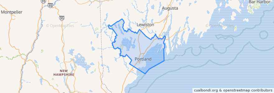
Cumberland County
Cumberland County
대화식지도에서보기
대중 교통 경로
Metro #2 Inbound
Metro #2 Outbound
METRO Route 1 Outbound
Metro Route HSK Husky Line OUTBOUND
장소
Portland
(4)
Westbrook
(3)
Bridgton
(0)
Cape Elizabeth
(0)
Cumberland Center
(0)
Falmouth Foreside
(0)
Freeport
(0)
Little Falls-South Windham
(0)
North Windham
(0)
Scarborough
(0)
South Portland
(0)
Yarmouth
(0)
버스 정류장
Stop 251
Stop
Stop 39;Stop 38
Stop 693
Stop 240;249
Stop 256
Stop 275;276
38
Stop 673
85
Stop 245
William Clarke Dr Husky Shelter
Stop 239;271
Stop 274
Stop 421
Stop 85
Stop 247
Stop 672
Stop 762
372
Stop 279
785
Stop 372
Stop 259
Stop 399
Stop 254;255
Stop 265;266
Congress St + Center St
Stop 785
Stop 262;267
가볼만한 곳
Blazes Burgers
The Shop
Nosh Kitchen Bar
Westbrook House of Pizza
Goodfire Brewing Co.
Duckfat
Novare Res
Proper Turns
Saint Josephs Convent
The Honey Paw
Market House Coffee
The Holy Donut
Bissell Brothers
Valentine School
Woodfords Congregational Church
Catharine McAuley High School
Forest Avenue Clock Tower
Bayou Kitchen
Prides Corner School
Cumberland County
Taco Escobarr
Babylon Restaurant
Lolita Vinoteca + Asador
Fore Street Restaurant
State Theatre
South Portland
Bike Parking
Camden National Bank
Shipyard Brewery Tasting Room
Blue Spoon