Login
Star users
Poll
Home
>
United States
>
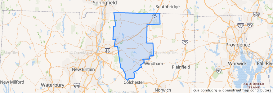
Connecticut
>
Tolland County
Tolland County
See in interactive map
Routes of public transport
Depot Line
Flixbus 2610: Boston => New York City
Flixbus 2610: New York City => Boston
Flixbus N2610: Boston => Washington, D.C.
Flixbus N2610: Washington, D.C. => Boston
Orange Line
Purple Line
Silver Line
Places
Mansfield
(4)
Tolland
(4)
Union
(4)
Vernon
(4)
Willington
(4)
Andover
(0)
Bolton
(0)
Columbia
(0)
Coventry
(0)
Ellington
(0)
Hebron
(0)
Somers
(0)
Stafford
(0)
Stops
-72.2549631, 41.8084043
Points of interest
UConn Health Urgent Care
University of Connecticut
Tolland County
Union Street Market
Chem Cafe
Burger King
Sacred Heart
Stafford
Moe's Southwest Grill
Dunkin' Donuts
Wings Over Storrs
Freshens
South Grab & Go
Subway
Starbucks
Gulf
Dunkin' Donuts
Connecticut State Police Troop C
Tang Karaoke & BBQ
Husky Pizza
CVS Pharmacy
UConn Police Department
Somers
Denny's
Mansfield Fire Marshal's Office
Wilbur's Cafe
Eat Joy
Off The Eaten Path
Puppet Arts Complex
The Beanery