Conecte-se
Usuários estrela
Pesquisa
Início
>
Estados Unidos da América
>
Califórnia
>
Contra Costa County
>
Pleasant Hill
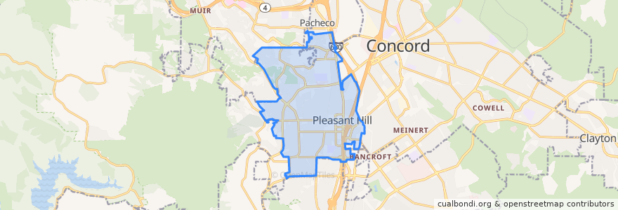
Pleasant Hill
Veja no mapa interativo
Rotas de transporte público
County Connection 16: Martinez Amtrak => Downtown Pleasant Hill => Concord BART
SolanoExpress Yellow Line: Vallejo => Pleasant Hill => Walnut Creek
SolanoExpress Yellow Line: Vallejo => Sunvalley Mall => Walnut Creek
SolanoExpress Yellow Line: Vallejo => Vallejo Ferry Terminal => Sunvalley Mall => Walnut Creek
SolanoExpress Yellow Line: Vallejo => Vallejo Ferry Terminal => Walnut Creek
SolanoExpress Yellow Line: Vallejo => Walnut Creek
SolanoExpress Yellow Line: Walnut Creek => Sunvalley Mall => Vallejo
SolanoExpress Yellow Line: Walnut Creek => Vallejo
SolanoExpress Yellow Line: Walnut Creek => Vallejo Ferry Terminal => Vallejo
Paradas
Contra Costa Boulevard & Golf Club Road
Contra Costa Boulevard & Viking Drive
Contra Costa Boulevard & Viking Drive
Contra Costa Boulevard & Viking Drive
Contra Costa Boulevard & Golf Club Road
Contra Costa Boulevard & Viking Drive
Contra Costa Boulevard & Golf Club Road
Contra Costa Boulevard & Golf Club Road
Pontos de interesse
Starbucks
Chase
Yogurtland
Bank of America
Sweet Tomatoes
Night Owl Pediatrics
Chipotle
BJ's
Wingstop
Rite Aid
China Caef
Daphne's
Panda Express
Corner Bakery Cafe
Zachary's
Cold Stone Creamery
Starbucks
CVS Pharmacy
Mb Karaoke & Billard
Rubio's
Little Free Library
Fat Maddie's
Starbucks
Urban Plates
Zachary's Chicago Pizza
Pollo Pollo
Togo's Sandwiches
Action Urgent Care
Lucille's Smokehouse Bar-B-Que
Thai Osha