تسجيل الدخول
مستخدمي ستار
تصويت
الصفحة الرئيسية
>
الولايات المتّحدة الأمريكيّة
>
فيرجينيا
>
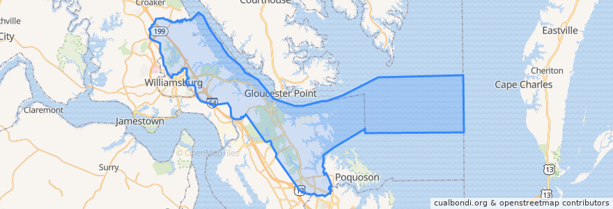
York County
York County
انظر في الخريطة التفاعلية
طرق النقل العام
Blue Line/Richmond Rd to Walmart
Blue Line/Richmond Rd to WTC
Orange/Merrimac Trail to WTC
أماكن
Yorktown
(0)
موقف
Merrimac Trl & Armstrong Dr
Walmart
Penniman Rd & Custis Dr
Merrimac Trl & James York Plaza
Merrimac Trl & Douglas Dr
Tam-O-Shanter Blvd
Merrimac Trl & Parchment Blvd (CBH)
Merrimac Trl & Priorslee Ln
Marquis Shopping Center @ Target
Alexander Lee Pkwy @ Peoples Place
Penniman Rd & Vineyard Ln
Marquis Shopping Ctr @ Dicks Sporting Goods
Penniman Rd & Dodge Dr
Water Country Pkwy @ Wyndham Hotel
Penniman Rd & Magruder ES
Penniman Rd & Queens Creek Rd
Merrimac Trl & Farm Fresh
Merrimac Trl & Colonial Towne Apartments
مجالات الاهتمام
Merrimac Trl & Queen Anne
Saint Johns Church
Merrimac Trl & Douglas Dr
Merrimac Trl & Parkway Apartments
Grace Church
Merrimac Trl & Priorslee Ln
Antonio's Ristorante Italiano
Bruton Fire Station Number 3
York County
Taco Bell
Church of the Nazarene
Merrimac Trl & Colonial Towne Apartments
Rite Aid
Magruder Middle School
Yorktown
Magruder Elementary School