Login
Star users
Poll
Home
>
United States
>
Florida
>
Seminole County
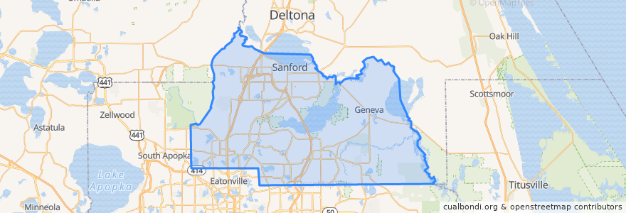
Seminole County
See in interactive map
Routes of public transport
102 Orange Avenue/South 17-92 (inbound)
102 Orange Avenue/South 17-92 (outbound)
106 North US 441/Apopka (outbound)
1 Winter Park/Altamonte Springs (northbound)
34 Sanford (northbound)
34 Sanford (southbound)
434 SR 434 Crosstown (eastbound)
434 SR 434 Crosstown (westbound)
436N SR 436 Crosstown (eastbound)
436N SR 436 Crosstown (westbound)
436S SR 436 Crosstown (northbound)
436S SR 436 Crosstown (southbound)
45 Lake Mary (eastbound)
45 Lake Mary (westbound)
46W West SR 46/Seminole Towne Center (eastbound)
46W West SR 46/Seminole Towne Center (westbound)
622 Oviedo (eastbound)
622 Oviedo (westbound)
651 Goldsboro
651 Goldsboro
Places
Sanford
(8)
Casselberry
(7)
Altamonte Springs
(5)
Oviedo
(4)
Lake Mary
(2)
Longwood
(2)
Winter Springs
(2)
Boston Cemetery
(0)
Stops
-81.35329440000001, 28.6979861
-81.3856291, 28.6616989
-81.28426610000001, 28.7603551
-81.3034042, 28.7565938
-81.37778180000001, 28.664927100000003
Points of interest
Moe's Mexican Grill
Peppino's Ristorante Italiano
Wendy's
Walgreens
Seventh Day Adventist Church of Sanford
Saint Stephen Lutheran Church
Gator's Dockside
Mount Olive Church
Forest Lake Academy
Señor Tequila
Peach Valley
Church of God
McDonald's
Auntie Anne's
Dunkin' Donuts
BurgerFi
Oyishi
First Baptist of Forest City
7-Eleven
Qdoba
Stonewood
Wells Fargo
LongHorn Steakhouse
Seminole County Sheriff's Office
Lonnie's
7-Eleven
Chase
Holy Cross Lutheran Church
Photos
Pinecrest Baptist Church