Login
Star users
Poll
Home
>
United States
>
Florida
>
Seminole County
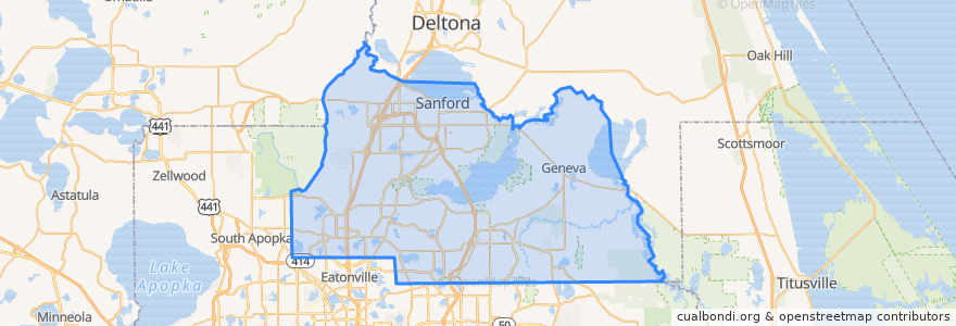
Seminole County
See in interactive map
Routes of public transport
102 Orange Avenue/South 17-92 (inbound)
102 Orange Avenue/South 17-92 (outbound)
106 North US 441/Apopka (outbound)
1 Winter Park/Altamonte Springs (northbound)
34 Sanford (northbound)
34 Sanford (southbound)
434 SR 434 Crosstown (eastbound)
434 SR 434 Crosstown (westbound)
436N SR 436 Crosstown (eastbound)
436N SR 436 Crosstown (westbound)
436S SR 436 Crosstown (northbound)
436S SR 436 Crosstown (southbound)
45 Lake Mary (eastbound)
45 Lake Mary (westbound)
46W West SR 46/Seminole Towne Center (eastbound)
46W West SR 46/Seminole Towne Center (westbound)
622 Oviedo (eastbound)
622 Oviedo (westbound)
651 Goldsboro
651 Goldsboro
Places
Sanford
(8)
Casselberry
(7)
Altamonte Springs
(5)
Oviedo
(4)
Lake Mary
(2)
Longwood
(2)
Winter Springs
(2)
Boston Cemetery
(0)
Stops
-81.3856291, 28.6616989
-81.28426610000001, 28.7603551
-81.35329440000001, 28.6979861
-81.3034042, 28.7565938
-81.37778180000001, 28.664927100000003
Points of interest
Orthodox Church of Saint Stephen
Starbucks
Neighborhoood Alliance Church
Wawa
La Antioquena Restaurant
iSpice
Gator's Dockside
Wawa
Plush Recording Studios
Winter Springs Elementary School
Wells Fargo ATM
Sanford Fire Department Station 1
Casselberry
Keke's
Dunkin' Donuts
Rolling Hills Moravian Church
FishBones
Parker Solar Park
5th Element
Proactiv
Lawless Subs
McDonald's
Community House of Prayer
Panera Bread
Smoothie King
Shula's 347 Grill
IHOP
Destiny's Big City Pizza
Avis
Mandarin Exp.