وارد شدن
کاربران ستاره
نظرسنجی
شروع
>
ایالات متحده آمریکا
>
ماساچوست
>
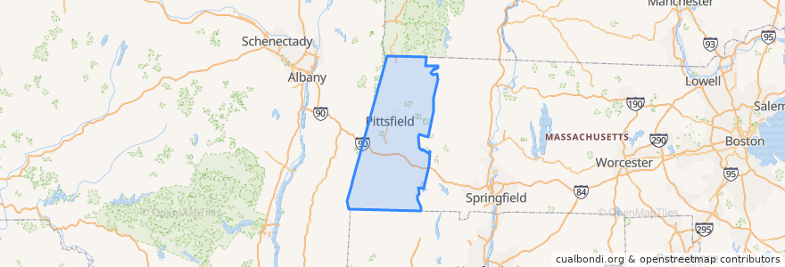
Berkshire County
Berkshire County
در نقشه تعاملی مشاهده کنید
مسیرهای حمل و نقل عمومی
Route 15
اماکن
Pittsfield
(1)
Adams
(0)
Alford
(0)
Becket
(0)
Cheshire
(0)
Clarksburg
(0)
Dalton
(0)
Egremont
(0)
Florida
(0)
Great Barrington
(0)
Hancock
(0)
Hinsdale
(0)
Lanesborough
(0)
Lee
(0)
Lenox
(0)
Monterey
(0)
Mount Washington
(0)
New Ashford
(0)
New Marlborough
(0)
North Adams
(0)
Otis
(0)
Peru
(0)
Richmond
(0)
Sandisfield
(0)
Savoy
(0)
Sheffield
(0)
Stockbridge
(0)
Tyringham
(0)
Washington
(0)
West Stockbridge
(0)
Williamstown
(0)
Windsor
(0)
ایستگاه
Lebanon Ave
نقاط مورد علاقه
Williamstown
Sheffield
Alford
Shiro Sushi Lounge
First Baptist Church
North Adams
Hancock
West Stockbridge
Savoy
Lanesborough
Pittsfield Fire Department
Pittsfield Fire Department
Tyringham
First Church of Christ Scientist
Egremont
District Kitchen
Pittsfield City Hall
Berkshire Bank
Tabernacle Baptist Church
Quest Diagnostics
First Church of Christ Congregational
The Marketplace Cafe
Hinsdale
Washington
Saint George Greek Orthodox Church
Windsor
New Ashford
Mount Washington
Florida
Cheshire