로그인
스타 사용자
투표
홈페이지
>
미국
>
텍사스
>
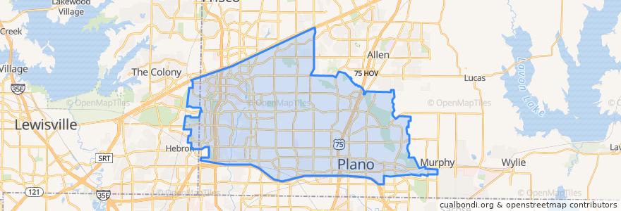
Plano
Plano
대화식지도에서보기
대중 교통 경로
DART 210 Jack Hatchell Express
DART 410 Parker Road Station/South Garland Transit Center
Orange Line: DFW Airport => Parker Road
Orange Line: Parker Road => DFW Airport
Red Line: Cedars => Parker Road
Red Line: Parker Road => Cedars
Red Line: Parker Road => Westmoreland
Red Line: Westmoreland => Parker Road
버스 정류장
-96.7006485, 33.033853400000005
-96.7030514, 33.0022559
-96.70091670000001, 33.0207982
-96.7007724, 33.033856300000004
-96.70086500000001, 33.0207988
-96.7030926, 33.002267100000005
가볼만한 곳
QuikTrip
Ye Ole Butcher Shop
The Filmore Pub
Haggard Park Pond Fountain North
Texas Stroke Institute
Urban Rio
Master Wok
1418 Coffeehouse
Plano Post Office
Plano Post Office - Downtown Station
Joe's Crab Shack
Kelly's Eastside
The Heart Hospital Baylor Plano
Haggard Park Pond Fountain South
Taqueria Los Angeles
Brix
Heritage Manor Healthcare Residence
On The Rocks
Plano
Hebron
Einstein Bros. Bagels
Martin Chiropractic
Subway
Jörg's Cafe Vienna
Plano Post Office - Downtown Station
Coit Street Inspections
Plano Post Office - Downtown Station
Vickery Park
Nest Burger
Schlotzsky's Deli