Login
Star users
Poll
Home
>
United States
>
Rhode Island
>
Washington County
>
Westerly
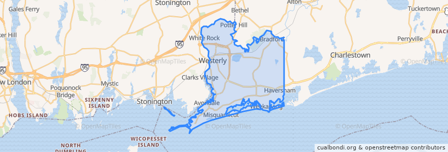
Westerly
See in interactive map
Routes of public transport
RIPTA 301 Westerly/Hope Valley Rural Ride to Stilson Road/Stop & Shop
RIPTA 301 Westerly/Hope Valley Rural Ride to Westerly Train Station
RIPTA 95x Westerly Park-n-Ride to Turk's Head
RIPTA 95x Westerly Park-n-Ride to Westerly Railroad Station
SEAT Run 10
Stops
Grove and Wilcox
Route 3 and Millrose
High and Grove
Westerly Train Station
Westerly Town Hall
Points of interest
Christ Episcopal Church
Connecticut Community Credit Union
Pawcatuck Fire Department
Dusty's
Dairy Queen
Goodtimes
Saint Michael School
Evan's Mobile Station
Chelsea Groton
C.C. O'Brien's
Prime Time Café
Citizens Bank
The Malted Barley
Littlebrook Kids Day Care Center
Dunns Corners Community Church
Mario's
Joy Fellowship
Washington Trust Bank
Trattoria Longo Meatballs and Martinis
Bess Eaton
Westerly
Perks & Corks
Dunns Corners Fire Department Station 1
Bayou BBQ
Central Baptist Church
Saint Vincent de Paul
Bogue's Alley
Westerly-Pawcatuck YMCA Preschool
Charter Oak Credit Union
Dunns Corners Church Preschool