Accesso
Utenti preferiti
Sondaggio
Homepage
>
Stati Uniti d'America
>
Rhode Island
>
Washington County
>
Westerly
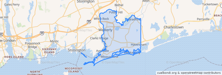
Westerly
Visualizza nella mappa interattiva
Percorsi di trasporto pubblico
RIPTA 301 Westerly/Hope Valley Rural Ride to Stilson Road/Stop & Shop
RIPTA 301 Westerly/Hope Valley Rural Ride to Westerly Train Station
RIPTA 95x Westerly Park-n-Ride to Turk's Head
RIPTA 95x Westerly Park-n-Ride to Westerly Railroad Station
SEAT Run 10
Fermate
Route 3 and Millrose
Westerly Train Station
Grove and Wilcox
High and Grove
Westerly Town Hall
Punti di interesse
Washington Trust Bank
Rhode Island Blood Center
Saint Michael School
Subway
Connecticut Community Credit Union
Flipside Pinball Bar
Westerly Fire Department
Goodtimes
Washington Trust
Westerly Preschool Childhood Center
Westerly-Pawcatuck YMCA Preschool
C.C. O'Brien's
Central Baptist Church
Mel's Downtown Creamery
Christadelphian Ecclesia Church
Saint Pius X Church
Perks & Corks
Bradford School
Dunns Corners Fire Department Station 1
Charter Oak Credit Union
Chelsea Groton
Littlebrook Child Development Center
Westerly Town Hall and Courthouse
Citizens Bank
Dunns Corners Church Preschool
B&B Dockside
84 High Street
Pawcatuck Seventh Day Baptist Church
George Kent Performance Hall
WBLQ