تسجيل الدخول
مستخدمي ستار
تصويت
الصفحة الرئيسية
>
الولايات المتّحدة الأمريكيّة
>
أوهايو
>
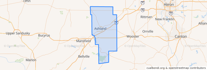
Ashland County
Ashland County
انظر في الخريطة التفاعلية
طرق النقل العام
Greyhound 1117: Cleveland, OH → Cincinnati, OH
Greyhound 4400: Cincinnati, OH → Cleveland, OH
أماكن
Ashland
(2)
Jackson Township
(2)
Mifflin Township
(2)
Milton Township
(2)
Montgomery Township
(2)
Perry Township
(2)
Clear Creek Township
(0)
Green Township
(0)
Hanover Township
(0)
Lake Township
(0)
Mohican Township
(0)
Orange Township
(0)
Ruggles Township
(0)
Sullivan Township
(0)
Troy Township
(0)
Vermillion Township
(0)
مجالات الاهتمام
Montgomery Township
Ashland
Jackson Township
Sullivan Township
Clear Creek Township
Mifflin Township
Perrysville
Taco Bell
Loudonville
Troy Township
Polk
Milton Township
Pizza Hut Express
Lake Township
Orange Township
Mifflin
Ruggles Township
Mohican Township
Popeyes
Bailey Lakes
Hayesville
Starbucks
Savannah
Bailey Lakes
Ashland County
Vermillion Township
Hanover Township
Jeromesville
Green Township
Perry Township